
Weekly Highlights
 Saint Thomas33°C91°F Jul 20CoolestGP
 Guadeloupe+(tied with
  Dominica)25°C77°F Jul 15Windiest
 Barbados44 km/h27 mph Jul 18Wettest Dominica19.3 mm0.76 in (heaviest day Jul 18: 6.2 mm0.24 in)DriestSTT Saint Thomas+(tied with SAB
 Saba)0 mm0 in
Based on data collected across 18 Eastern Caribbean islands over the past 7 days.
This Week's Regional Summary
The Eastern Caribbean islands experienced settled, dry weather over the past seven days under a stable airmass. Temperatures ranged from 25°C77°F to 33°C91°F, with typical seasonal warmth and moderate humidity around 68%. Rainfall was light across most of the region, with the wettest location recording only 19.3 mm0.76 in.
Winds remained generally moderate, peaking at 44 km/h27 mph. Cloud cover stayed scattered to broken, and Saharan dust over the islands remained low, posing no air quality concerns.
This Week's Outlook
Fair to partly cloudy conditions will persist through the coming week across the region. Tonight into early Tuesday, mainly fair skies are expected with only a slight chance of brief light showers. A weak trough will move into the British Virgin Islands and Leeward Islands after midnight, bringing a moderate chance of brief passing showers mainly over those northern islands through Tuesday morning.
Elsewhere across the southern and central Lesser Antilles, conditions will remain dry and stable.
Winds will blow from the east-northeast at 11 to 30 km/h7 to 18 mph, easing overnight. Sea conditions will remain calm, with heights of 1 to 1.8 metres3 to 6 feet. No significant weather threats are anticipated through the forecast period.
Tropical Activity
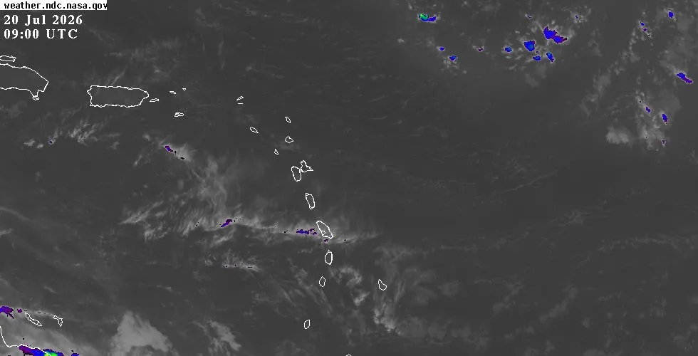
The tropics remain quiet for the Eastern Caribbean. The National Hurricane Center is monitoring three tropical waves in the Atlantic basin, but none pose a threat to the region. A wave approaching the Cabo Verde Islands off Africa remains far removed from the Caribbean.
A second wave over the central Atlantic is laden with dry Saharan air, which suppresses convection and prevents development. A third wave over the western Caribbean has moved through and continues westward with no significant weather. Elsewhere in the Atlantic, scattered moderate convection is being generated along upper-level troughs positioned well north of the Caribbean islands, between 20 and 29 degrees north latitude and east of 45 degrees west.
These features do not affect our region. Sea surface temperatures and wind shear across the Caribbean remain favorable for development should any organized system move into the basin, but no such threat is currently present. For the full National Hurricane Center tropical weather outlook, satellite imagery, and extended forecast graphics, visit the outlook page.
Looking Ahead
The coming week will bring typical early hurricane season weather: fair to partly cloudy skies, warm temperatures, light to moderate winds, and calm seas. Residents and visitors should take advantage of the settled conditions. For detailed island-by-island conditions, visit the weather page.
To track live radar and satellite imagery by island, check the interactive map.