Anguilla's location in the main Atlantic hurricane development region has exposed the island to roughly 14 hurricanes since 1950. From Hurricane Donna in 1960 to Hurricane Irma in 2017, the island's history reveals patterns of vulnerability and lessons in preparedness.
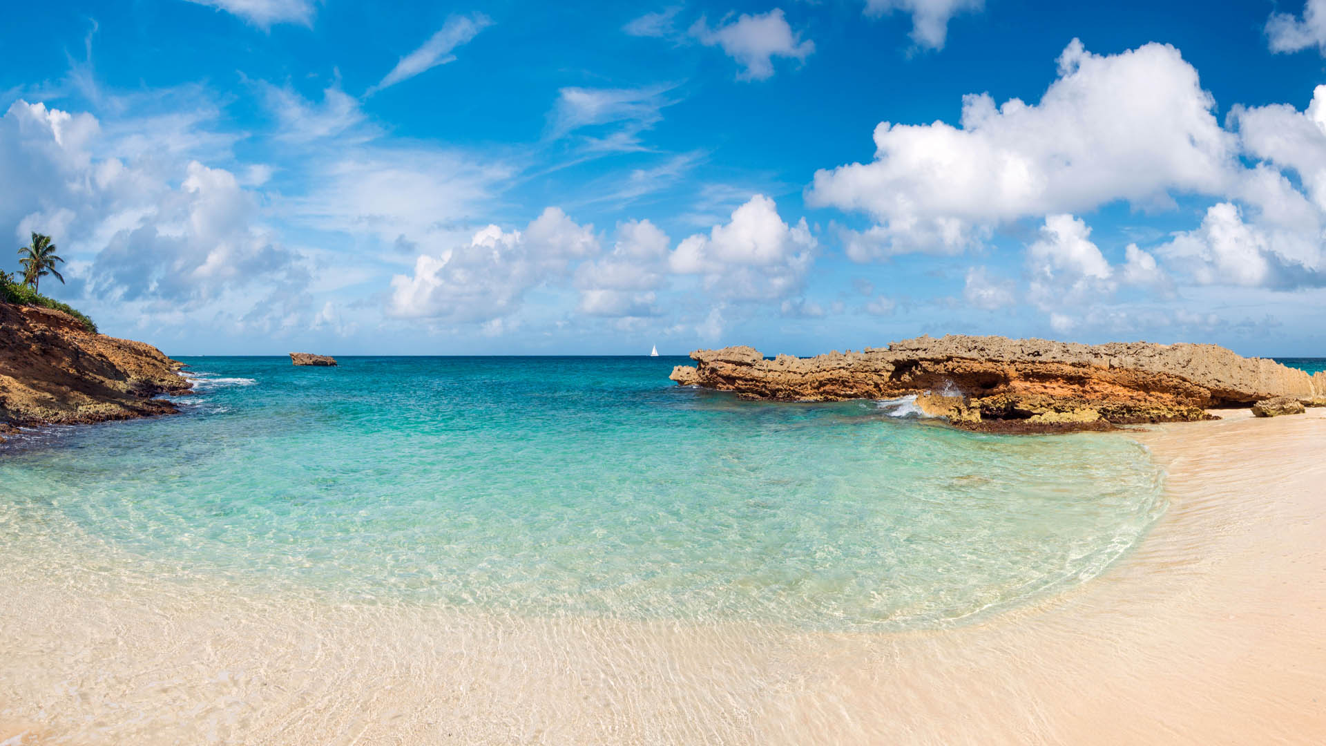
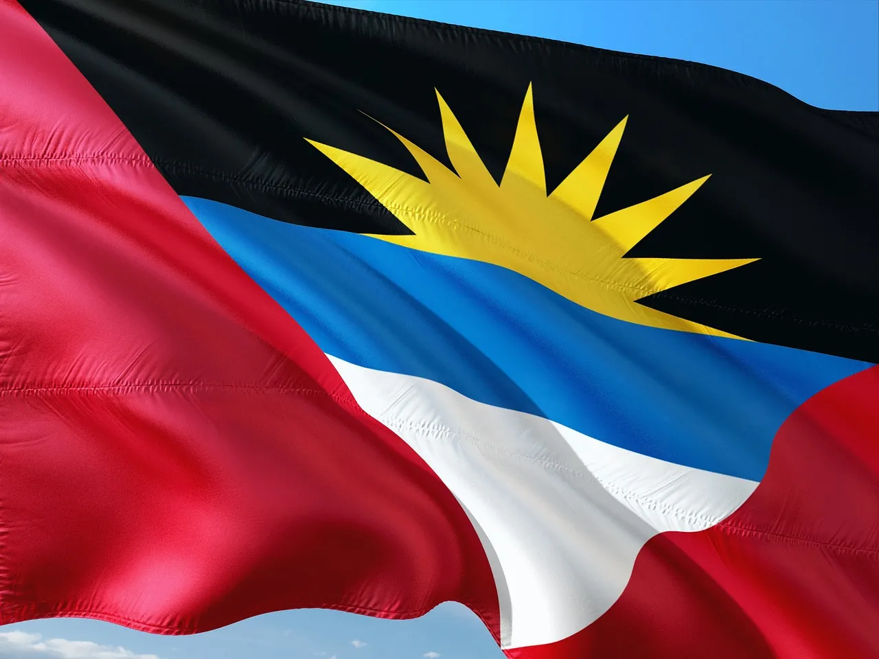
Antigua and Barbuda sits in the Atlantic hurricane belt with a major storm striking roughly every three years. From 1871 to 2025, the islands have experienced devastating direct hits, near misses, and catastrophic impacts that shape preparedness planning today.
Barbados has endured some of the Atlantic's most destructive hurricanes, from the catastrophic Great Hurricane of 1780 that killed thousands to Hurricane Elsa's 2021 strike that ended a 66-year direct-hit drought. A complete historical record shows how geography shapes the island's hurricane risk.
From Hurricane Hugo to Hurricane Irma, the British Virgin Islands have endured some of the Atlantic's most powerful storms. This comprehensive history documents major hurricanes, their impacts, and what the record reveals about preparedness in the region.
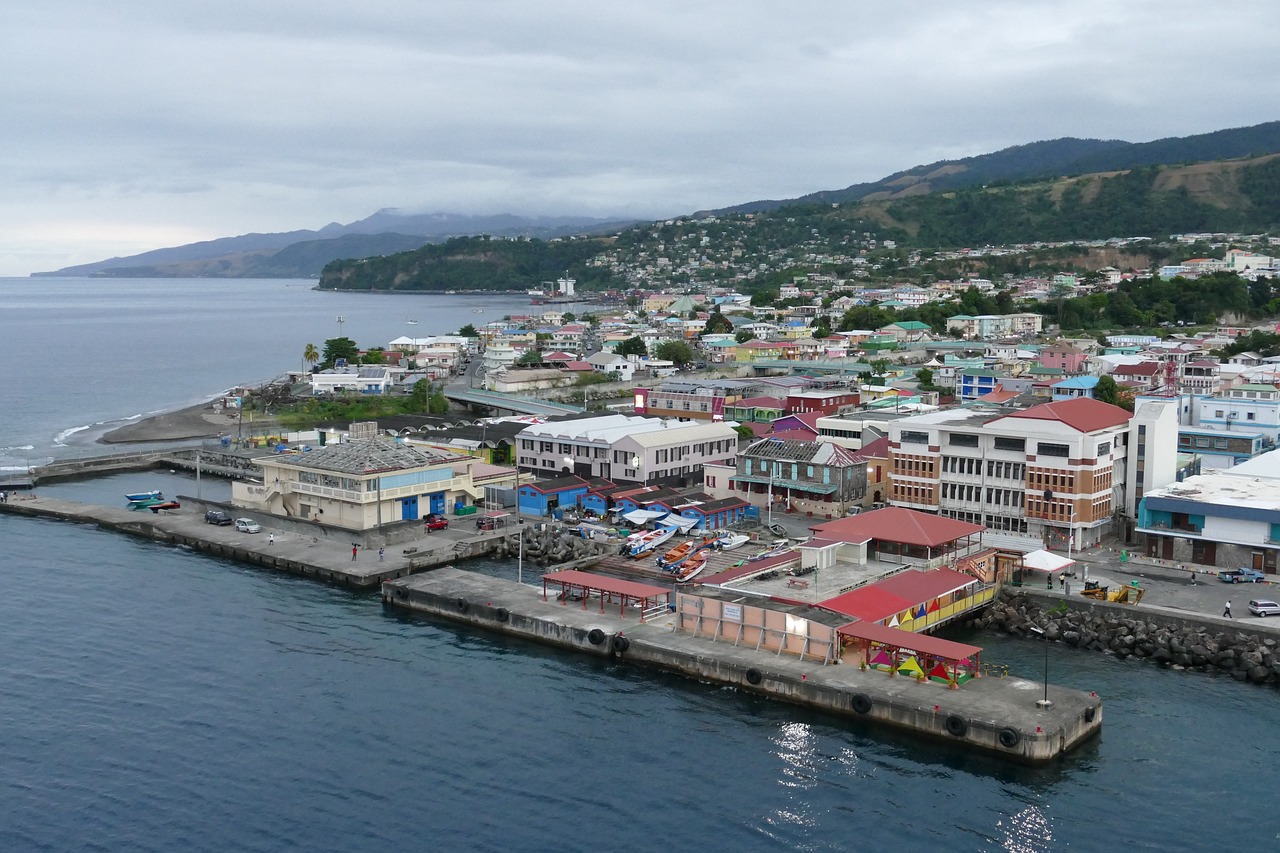
Dominica's location in the Eastern Caribbean has exposed it to some of the Atlantic's most powerful hurricanes. From the 1834 Padre Ruíz hurricane through Category 5 Maria in 2017, the island's hurricane history reveals a pattern of devastating impacts and lessons about preparedness.
Grenada's position near the southern edge of the Atlantic hurricane belt has not spared it from devastating storms. From Hurricane Janet in 1955 to Hurricane Beryl in 2024, the island has endured repeated impacts that have shaped building codes, emergency preparedness, and national resilience.
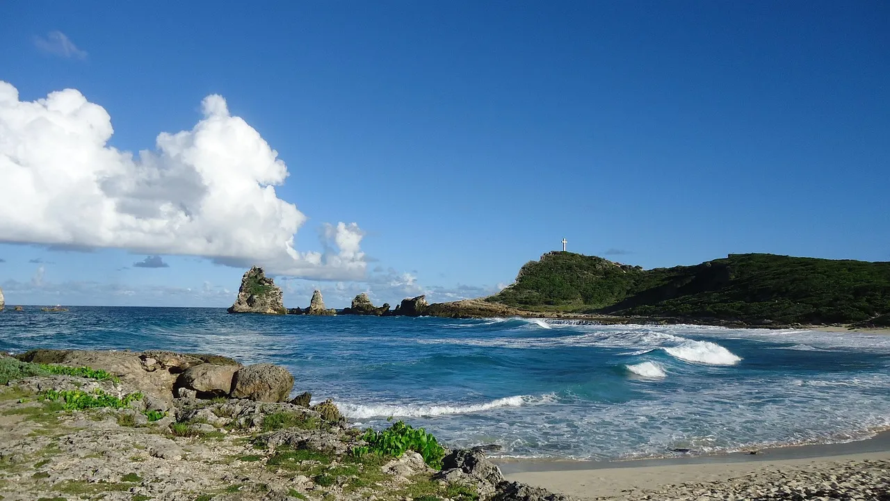
Guadeloupe's position in the northern Lesser Antilles places it directly in the path of Atlantic hurricanes. A comprehensive look at major storms from 1928 to 2025 reveals patterns of vulnerability and the devastating potential of powerful systems.
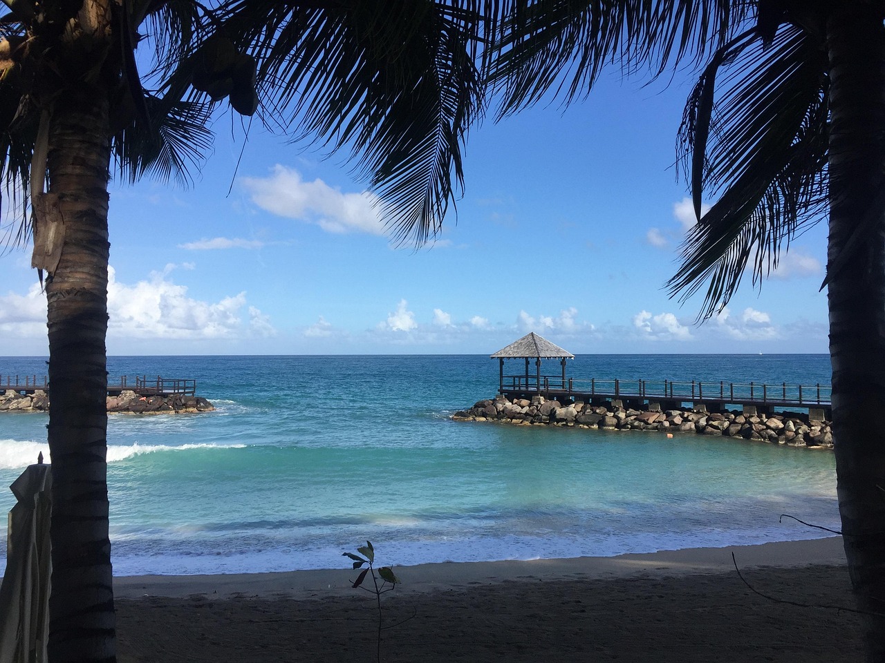
Martinique sits squarely in the Atlantic hurricane belt, facing frequent threats from tropical systems tracking westward from Africa. The island's recorded hurricane history spans centuries, from the catastrophic Great Hurricane of 1780 to recent storms like Hurricane Dean in 2007.
Montserrat's position in the Leeward Islands places it directly in the path of Atlantic hurricanes. From the catastrophic 1899 San Ciriaco Hurricane to Hugo's devastation in 1989, the island has endured some of the Caribbean's most intense storms.
Saba has been struck or significantly affected by roughly 68 tropical systems since 1851, with the most powerful recorded impact from Hurricane Irma in 2017. This comprehensive history documents major hurricanes, damage patterns, and what the record reveals about the island's exposure to Atlantic tropical cyclones.