
Weekly Highlights
 Guadeloupe42°C107°F Aug 4Hottest
 Grenada35°C95°F Aug 4Coolest
 St Vincent+(tied with
  Antigua and Barbuda)24°C76°F Aug 5Windiest
 Martinique+(tied with STX
 Saint Croix)38 km/h23 mph Aug 9Wettest
 Dominica48 mm1.89 in (heaviest day Aug 9: 19.7 mm0.78 in)DriestSXM
 Saint Martin2.4 mm0.09 in
Based on data collected across 18 Eastern Caribbean islands over the past 7 days.
Regional Conditions This Week
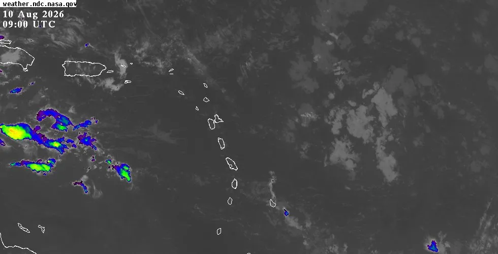
The Eastern Caribbean is experiencing typical peak-season weather with no active tropical threats. Temperatures across the region ranged from 24°C74°F to 35°C95°F over the past seven days, with Grenada recording the warmest reading. Humidity remained elevated at 83% on average, and scattered to broken cloud cover has been the dominant pattern.
Winds have stayed moderate, with Martinique experiencing the strongest gusts at 38 km/h24 mph. Saharan dust concentrations are elevated across the islands, with peak levels of 115 µg/m³ recorded over Dominica, creating hazy skies in some areas. Rainfall distribution varied significantly: Dominica received the most moisture at 48 mm1.89 in, while Saint Martin remained dry with only 2.4 mm0.1 in.
This Week's Outlook
The coming week will bring scattered showers and fair to partly cloudy skies across the Eastern Caribbean. Winds are expected to remain moderate, averaging 19 to 30 km/h12 to 18 mph from the east. Sea conditions should stay manageable, with waves between 1 to 1.5 metres3 to 5 feet.
Brief passing showers are possible occasionally, particularly over and around the islands, but no significant rainfall events are anticipated. Saharan dust will likely remain an influence on visibility and air quality through the period. Barometric pressure is expected to remain stable near 1016 mb.
Tropical Activity
The tropics remain quiet for the Eastern Caribbean region this week. The National Hurricane Center is tracking several tropical waves across the Atlantic basin, but none pose an immediate threat to the islands. A wave currently positioned near 41W to 42W is moving westward and has a low chance of development as environmental conditions become less favourable by week's end.
Another wave farther east near 24W shows a medium chance for tropical cyclone formation by the latter half of the week, but it remains in the central Atlantic well away from our region. A third wave near 52W is surrounded by Saharan Air with minimal convection. A fourth system over the western Caribbean has already moved past the islands.
General basin conditions show normal August activity with moderate wind shear and warm sea surface temperatures. For detailed tracking information, satellite imagery, and the latest NHC outlooks, visit the outlook page.
Looking Ahead
Residents should continue monitoring standard peak-season weather patterns: brief showers, moderate trades, and fair conditions overall. The next week appears unlikely to bring tropical development threatening the Eastern Caribbean. For island-specific conditions and hourly forecasts, check the weather page.
Real-time radar and satellite imagery are available on the interactive map.